Trip From Goose Creek, SC to Hope Town, Abacos, Bahamas
On an early Thursday morning in late June 2014, I hooked the boat and trailer to my truck and began a long ride from Goose Creek, SC, down to Ft Pierce, Fl.
About 8-hours later, we finally made it to Ft Pierce. After our arrival, we launched the boat at one of the local ramps and motored over to Harbortown Marina for the night’s stay.
Now that we’re in the water, I can fill you in on the destination: Green Turtle Cay, Bahamas. We’re just about ready to go, but we need to fill the boat with all the necessities for the 10-day vacation. Through the magic of writing, the boat is cooler’d out with what we take for granted every day: groceries.
We made it down to the boat around 4:30 Friday morning, and needless to say, I didn’t get a lot of sleep. Quite a few things go through your mind on a trip like this. You think of what can go wrong and hope nothing will.
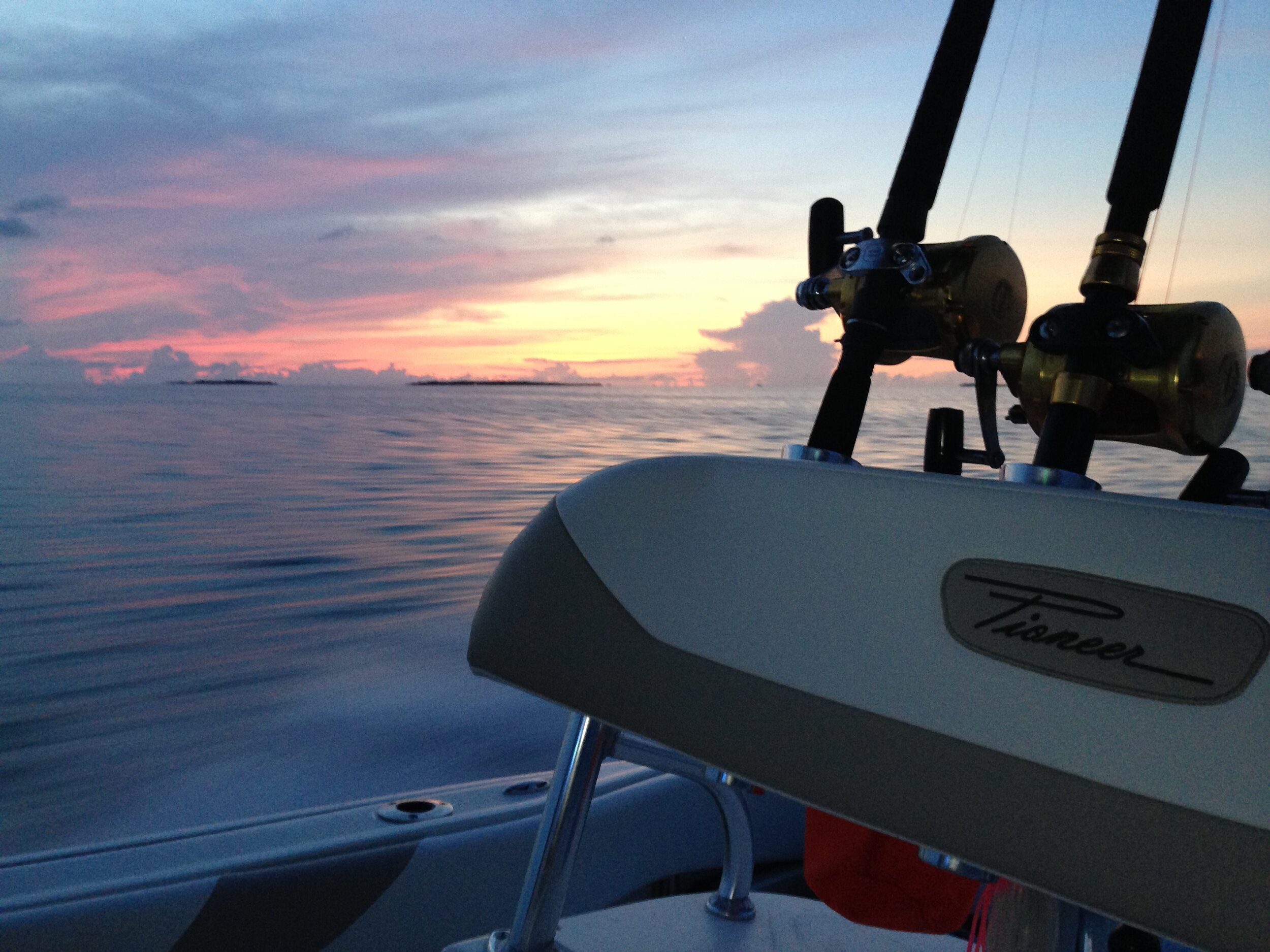
The spreader lights laid a perfect light stream in the cockpit while we made final preparations. I turned off the lights after everything was stowed and illuminated the cockpit in a cool glow of blue. We made our way out of Harbortown Marina at 5:30 am toward the Intracoastal Waterway. I put the Tiger IV on top of the water, and off we go. With the autopilot set, we cruise at 30 knots for 1 minute, and then we turn to the port at marker 187, passed buoy 16, and slow to no-wake speed. That was fun. We now have to fight the fast incoming tide for a couple of miles. After a while, we pass the end of the no-wake zone, Buoy 9, and I push her back on top of the water at 30knots, and now we’re off. We cleared the Ft Pierce jetties at 5:55 am, and our heading was slightly south of East. We were on our way to the White Sand Ridge on the Bahamas Bank.

On our way out toward the Atlantic Ocean
The boat is so new that I’m learning the autopilot on the fly. I finally found the waypoint, push a button, and the Garmin system sprang to life and held her course. The course was 1010, and in no time, the side-scan sonar was just blinking as it searched for the ocean floor.
The sun began to make her way over the horizon, and the ocean began to show herself. She was somewhat flat with a mild roll and a slight breeze from the Southwest. The radio rang out with a classic Jimmy Buffet tune: Cowboy in the Jungle. With the first leg of the trip was closing in, and with the sun finally over the horizon, we finally hit the bank after 2 hours and a 20-minute trek—twenty-eight feet of water from 1,000 plus.
Yes, we made it across the Straits of Florida.
I pulled her back, looked around, and discarded the morning’s coffee, all around 8:30 am. Sitting back and taking it in, I decided it was time to crack a cold adult beverage, and I did.
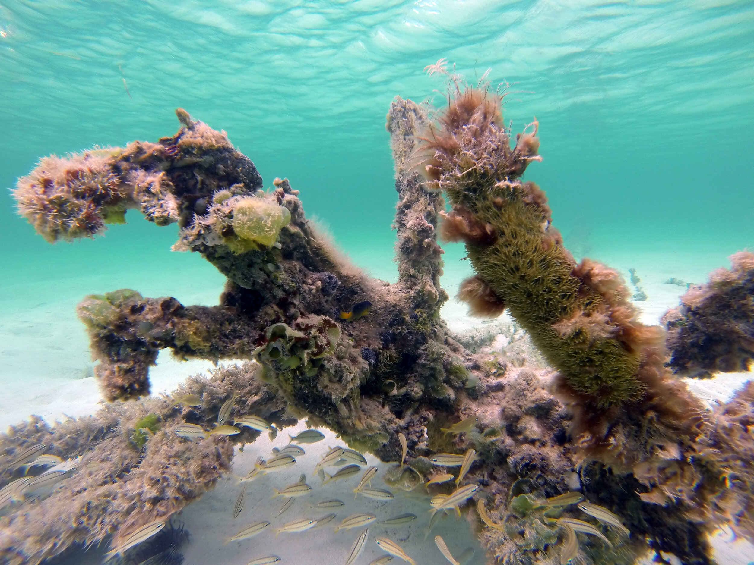
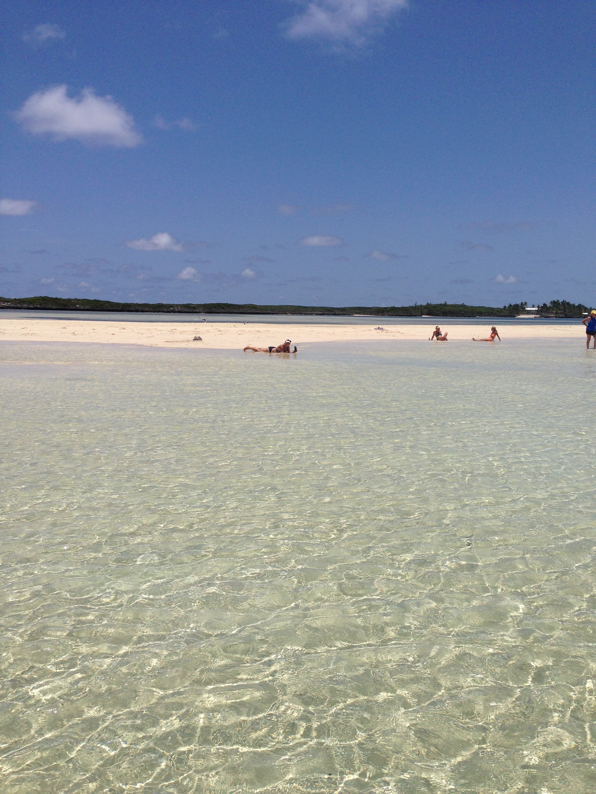
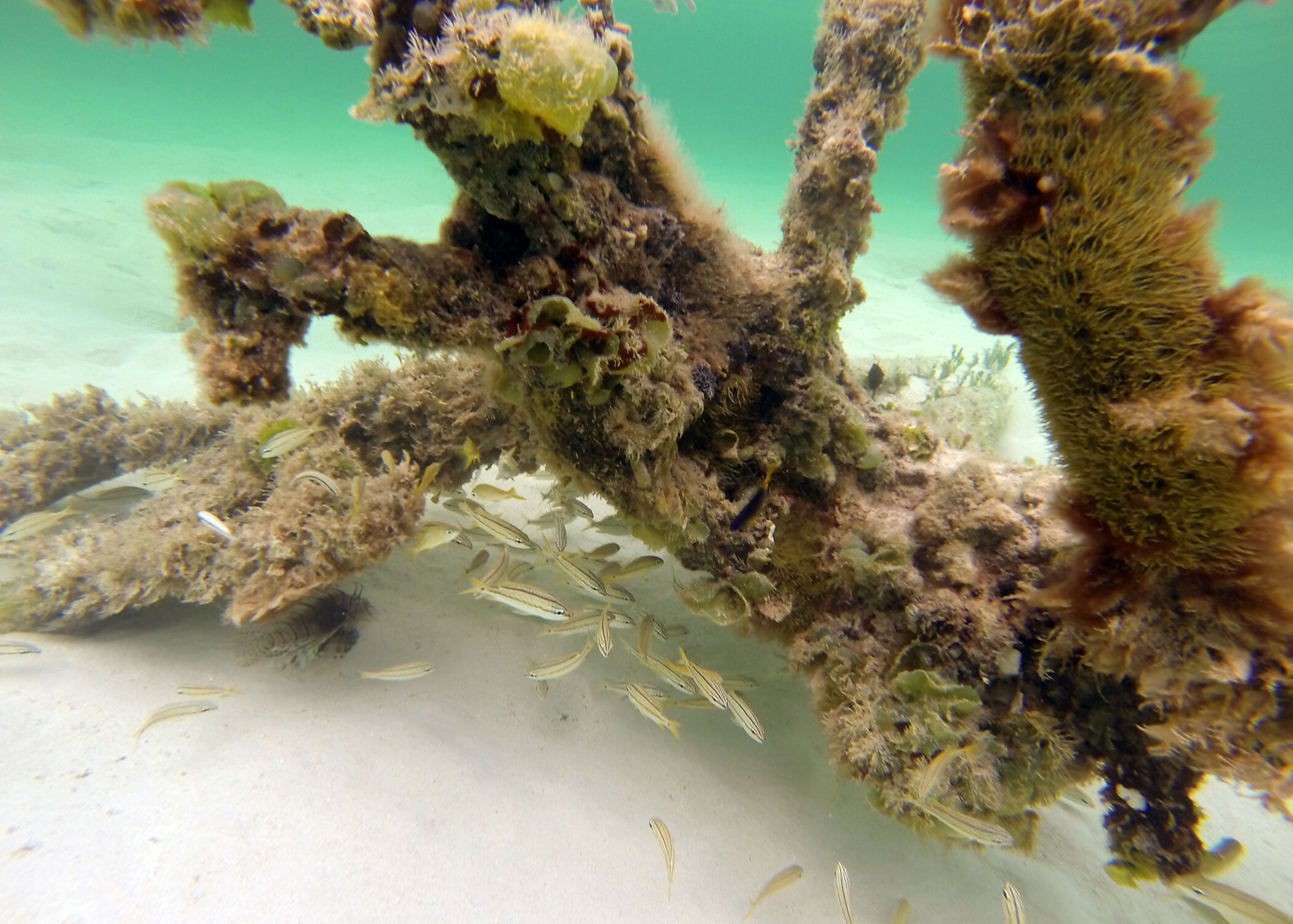
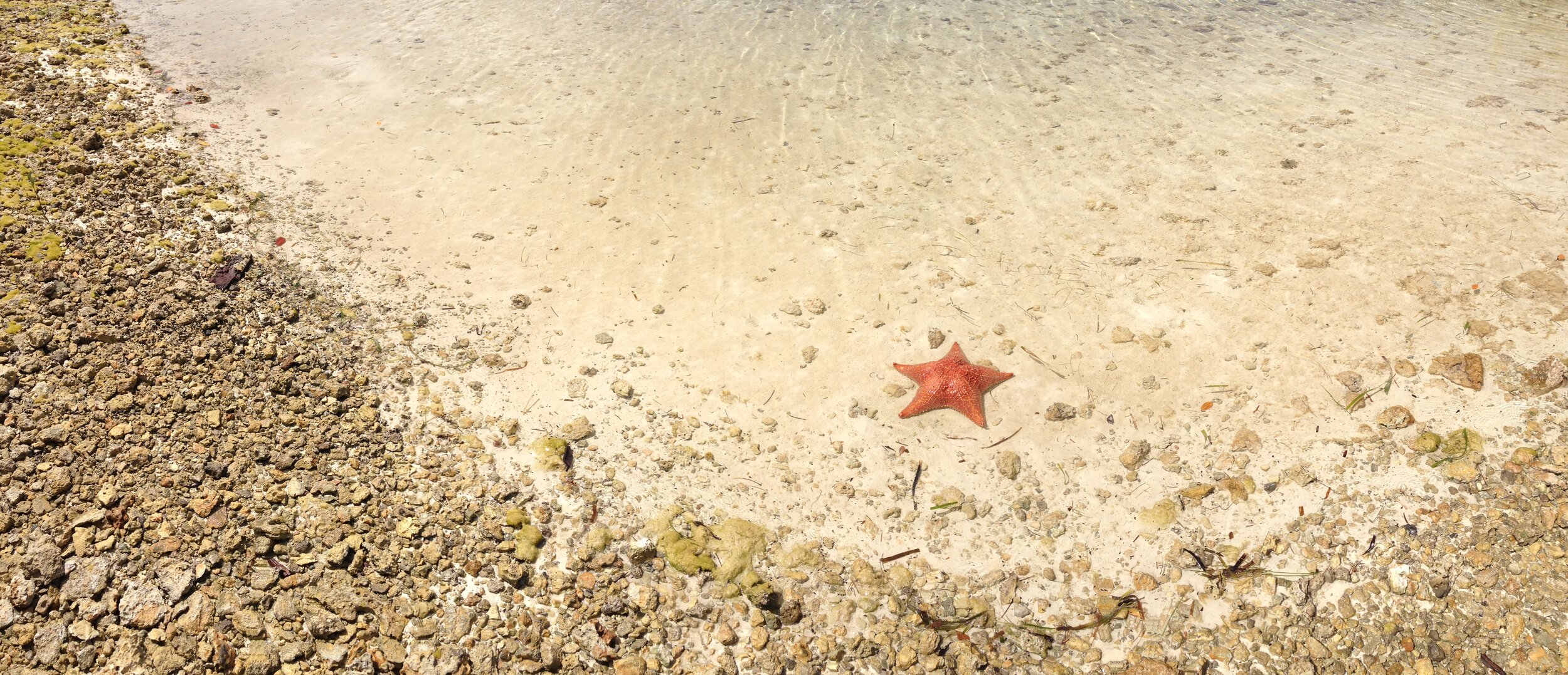
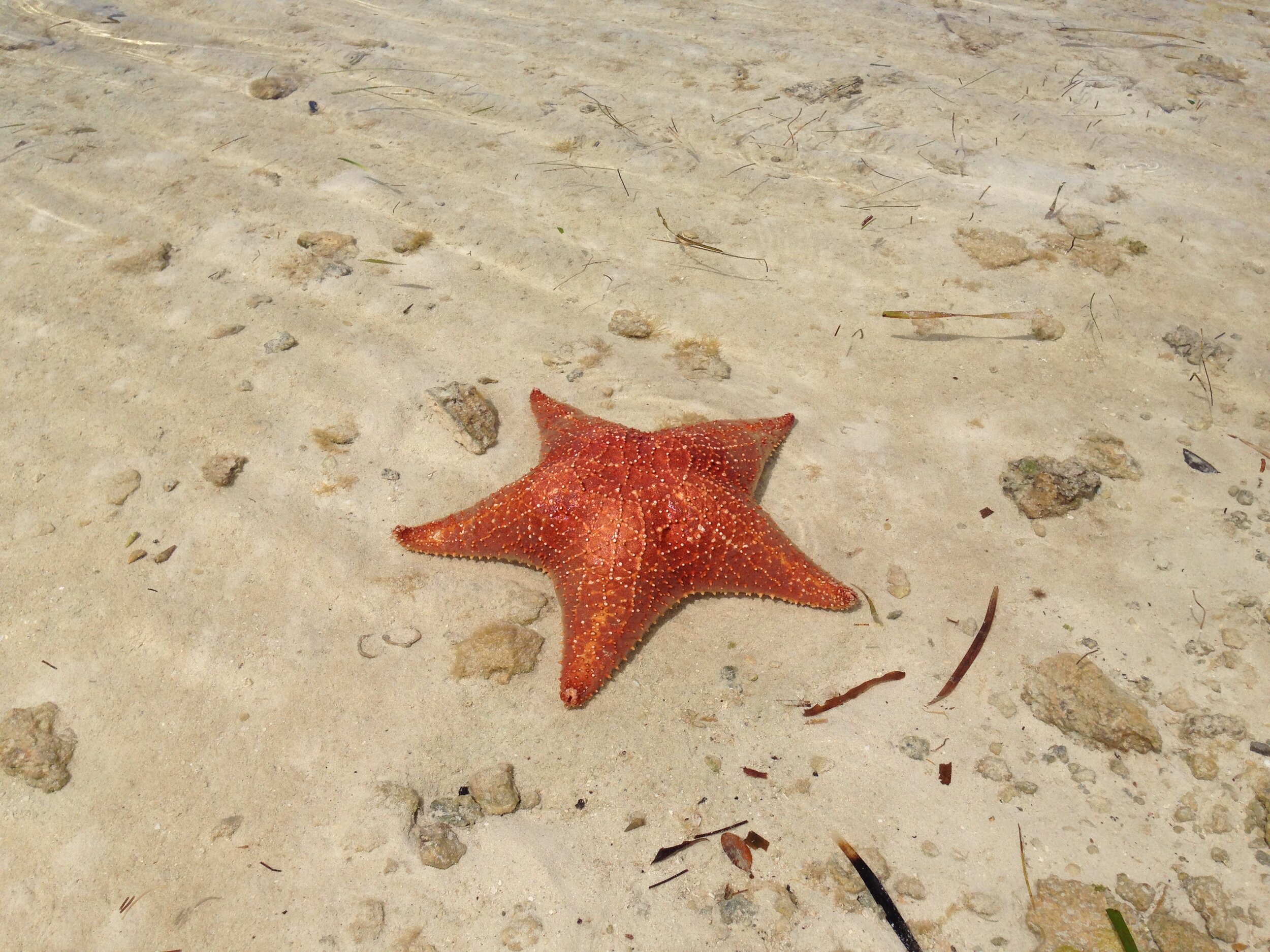
Now our next leg of the trip is up, clearing customs at Walker’s Cay. I pulled up the Triangle Rocks South waypoint, and the autopilot grabbed the helm, and the boat made her way across the beautiful and crystal clear green water at, again, 30knots. We moved effortlessly across the shallow and slightly bumpy water. It’s a neat and somewhat awesome experience being in that clear water when you come from a muddy water environment as we do. Seeing the orange starfish as you scoot across the surface of a great aquarium is just cool.
Our second leg lasted about an hour and twenty minutes; Triangle Rocks. We pulled up the third waypoint, Walkers, and Mr. Garmin moved us about 6 miles closer, and at this point, I took control of the helm. The Walker’s Cay entrance can be tricky, and I would suggest purchasing one of the up-to-date cruising guides. Mine let me know that the channel had shifted, and we followed the recommended course and made it to the harbor entrance.

Abaco Yellowtail
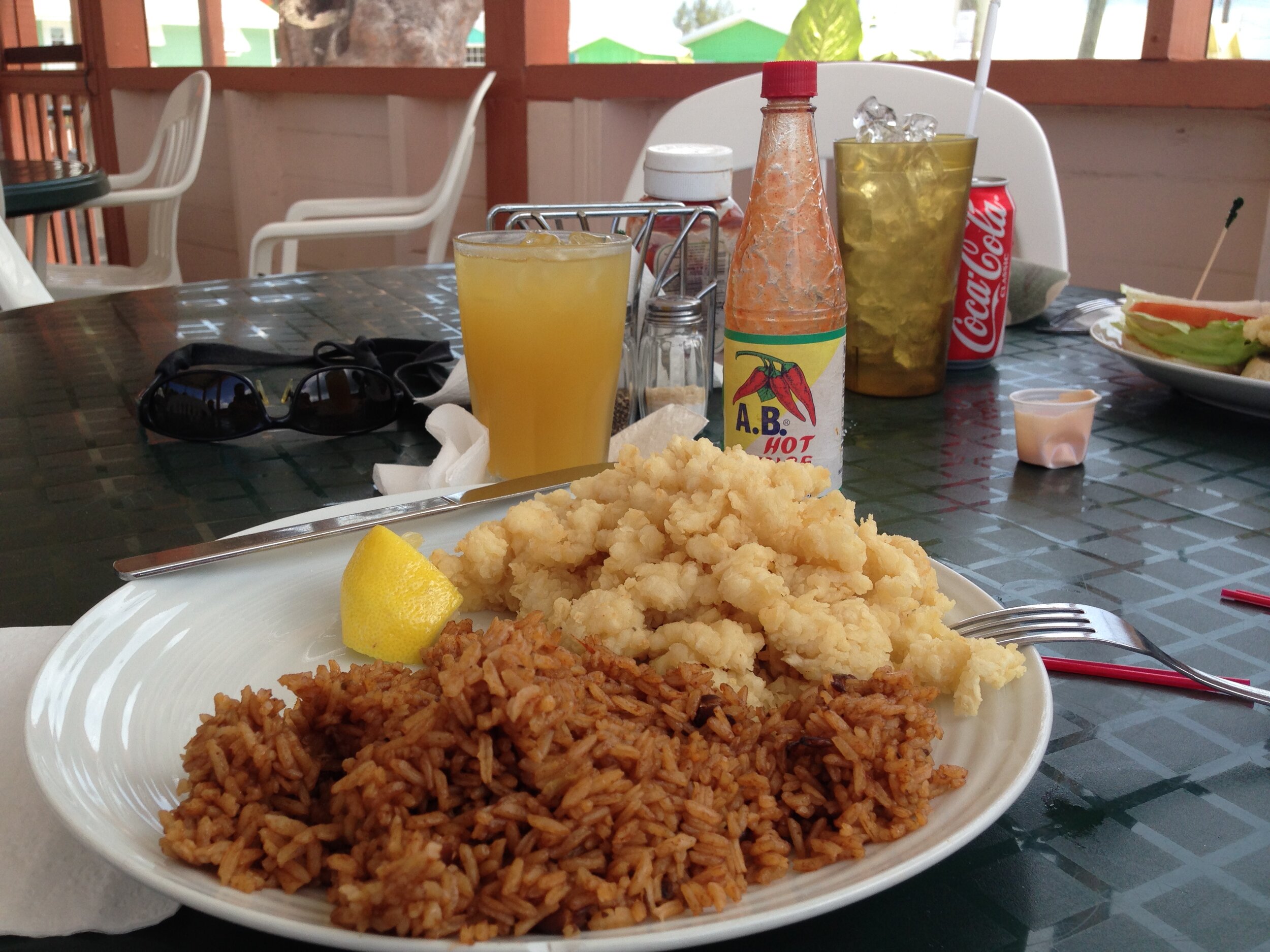
Walker’s Cay, at one time, was one of the great sportfishing destinations in the world. But now, it is only an abandoned outpost and a point to clear Customs: at the time of publishing, the Customs and Immigration office had moved to Grand Cay. The marina was decimated by two back-to-back hurricanes and just has not recovered, which is a shame. We motored around looking for some direction to the government office, but there was none. We did see someone sitting at an old picnic table under a tree atop the seaplane ramp. So, we moved up to the ramp, and my son jumped off and walked up to her and then came back. That was the customs agent, so I tied the boat to the sea wall and all of our papers in hand, we made it up the hill and into the office. I no time at all, we were legal and had a fishing license—now we’re ready. Well, almost. Hungry and ready for some cracked conch, we leave Walkers and head east toward Grand Cay and Rosie’s Place.
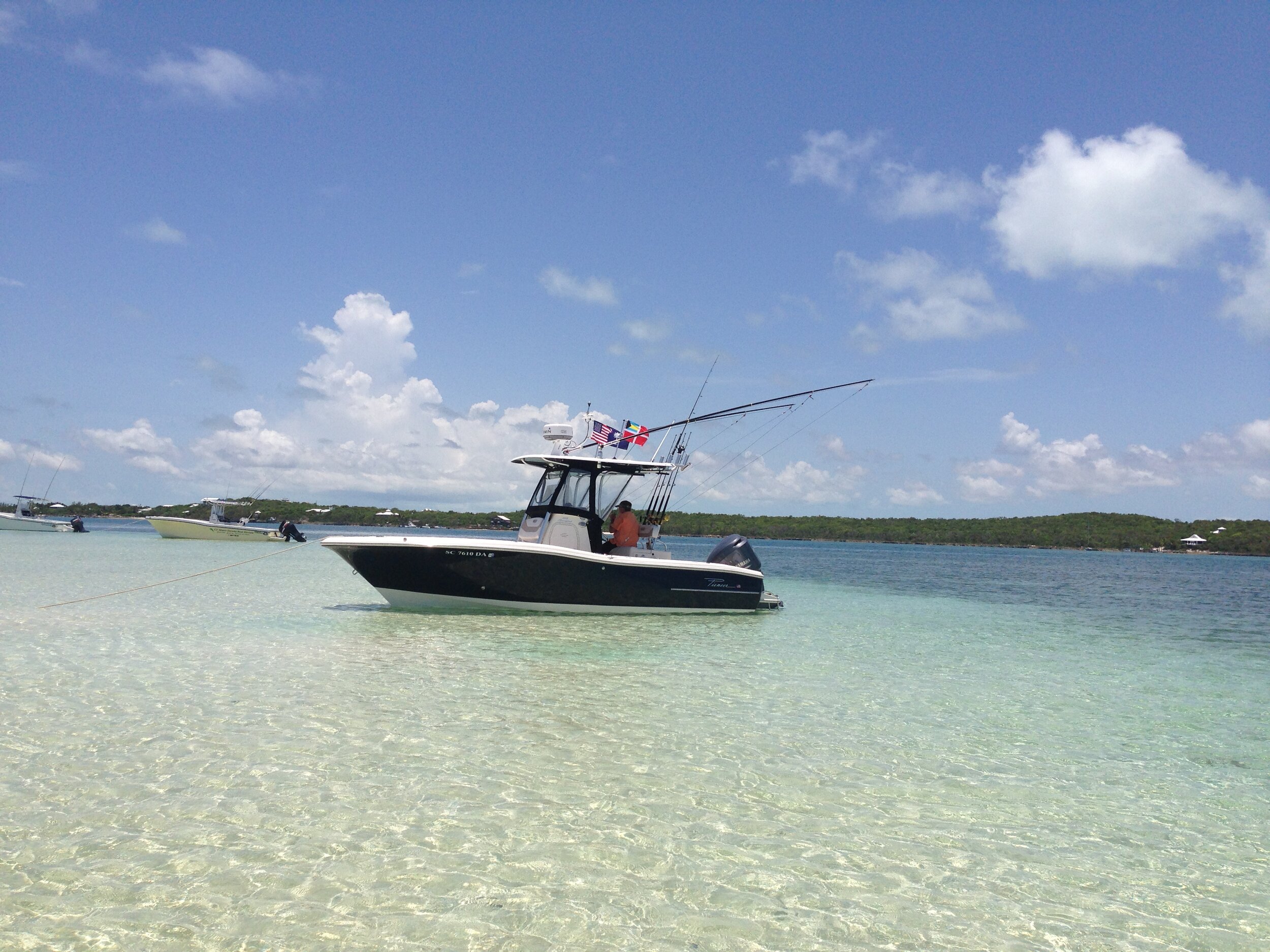
We topped the Tiger IV’s tank off, and after running close to 120 miles, we put in around 40 gallons of ethanol-free gas. With the boat full, off we went to Rosie’s Place for a couple of cracked conch meals, and a few goombay smashes. It was great to be back, oh, and the conch was awesome. There is something about fresh conch.
Back in the Tiger IV, and with full stomachs, we made our way back to Triangle Rock for a little fishing. Before we left Ft. Pierce, I stocked up with blocks of chum and ballyhoo. This is a necessity since there are no tackle shops close by. You need to bring everything you think you’ll need and maybe something you don’t. I also brought some good ole’ Lowcountry shrimp from home.
We anchored up to the south side of one of the big rocks and dropped a block of chum over the side. The current began taking the ground-up menhaden from the boat to the rocks. We stowed the jump seats under the gunwale, which gave us full access to the stern for fishing, and we broke out the light spinning outfits. Our rigs were very, very basic: small 1/8 oz egg sinker, size 12 barrel swivel, around 12 inches of 25-pound test fluorocarbon leader, and a snelled size 1 Gamakatsu octopus circle hook. In other words, a Carolina Rig. I, on the other hand, used the same setup but no weight.

Abaco Queen Triggerfish
We both took our spots in the cockpit, baited our hooks with small pieces of Charleston shrimp, and tossed them back into the chum slick. Mine slowly drifted back with the chum, and I soon caught the sight of a dark shadow dart across the slick. Dang it! A miss. Bait again, and drift it back. Then the boy hook hooked up with a nice Queen Triggerfish. Then another and another. After a while, the yellowtail snapper grew brave, and BAM! Fun times. We landed quite a few nice fish but also left a few rigs, thanks to the sharp limestone outcrops. But, fresh yellowtail, thinly sliced with soy sauce and a little wasabi... it doesn’t get a whole lot better than that.
My son decided to break out the snorkeling gear and take a look at what we were fishing around. That’s another thing cool about this place. Just jump in and look. I kicked back, enjoyed the warm breeze, cold adult beverage, and took in the day.
With the boy back on board and rinsed off with fresh water, it was now time for the final, long leg of our trip. Destination: White Sound, Green Turtle Cay, next to the Bluff House.
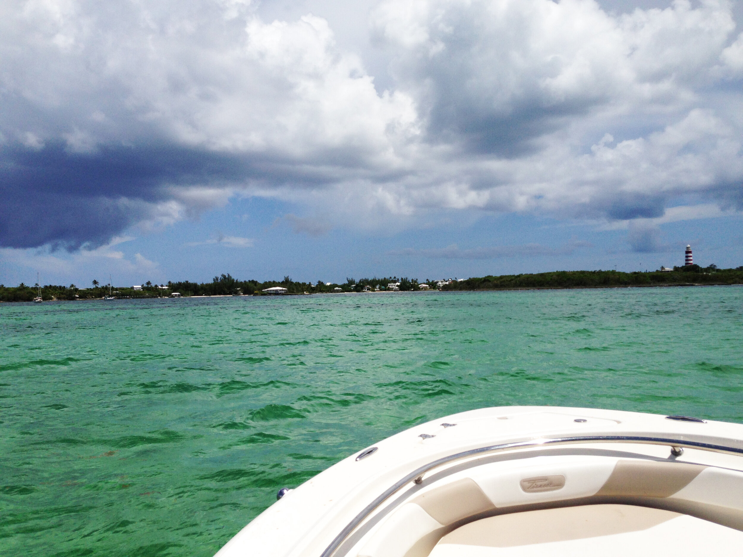
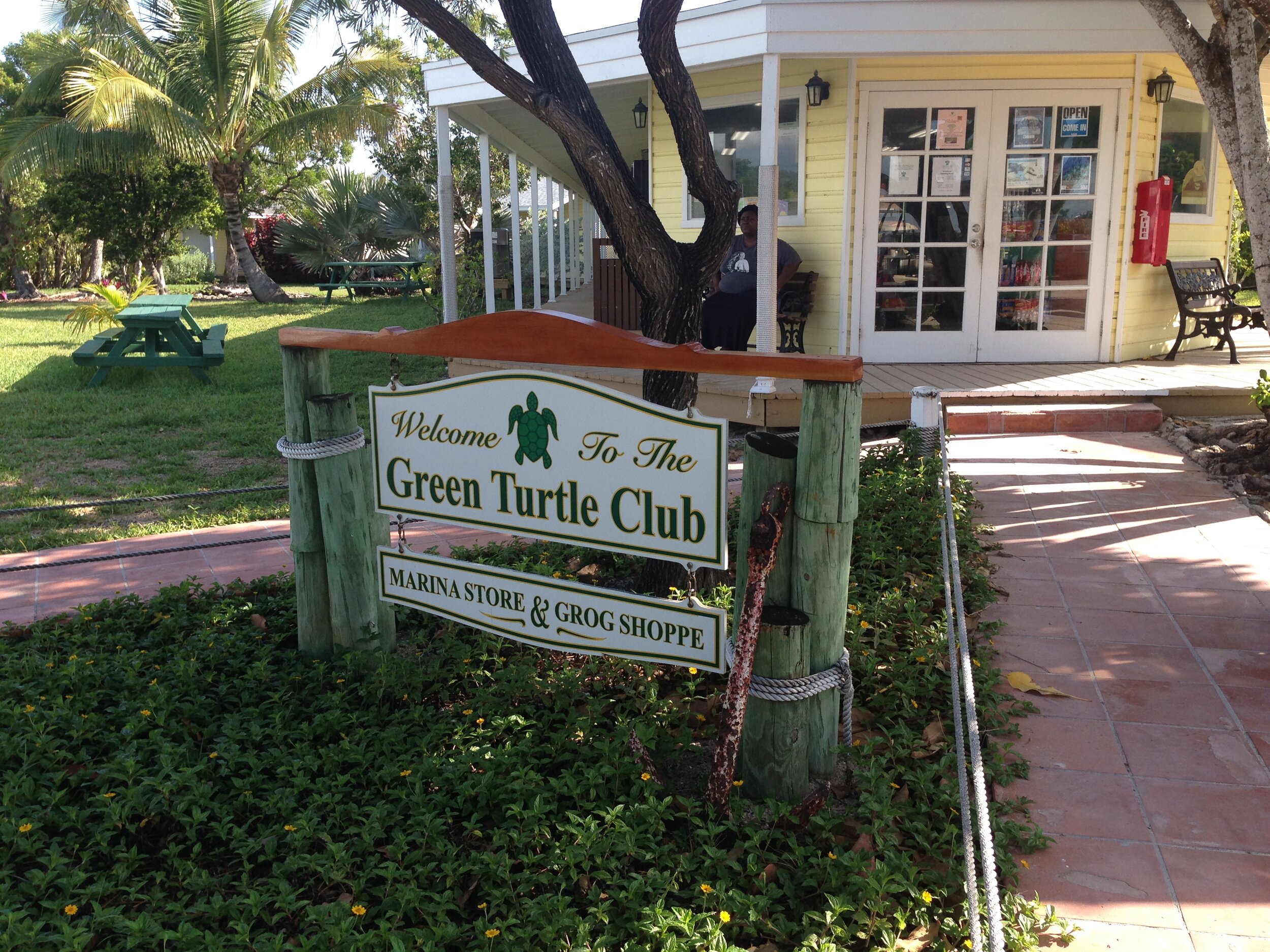
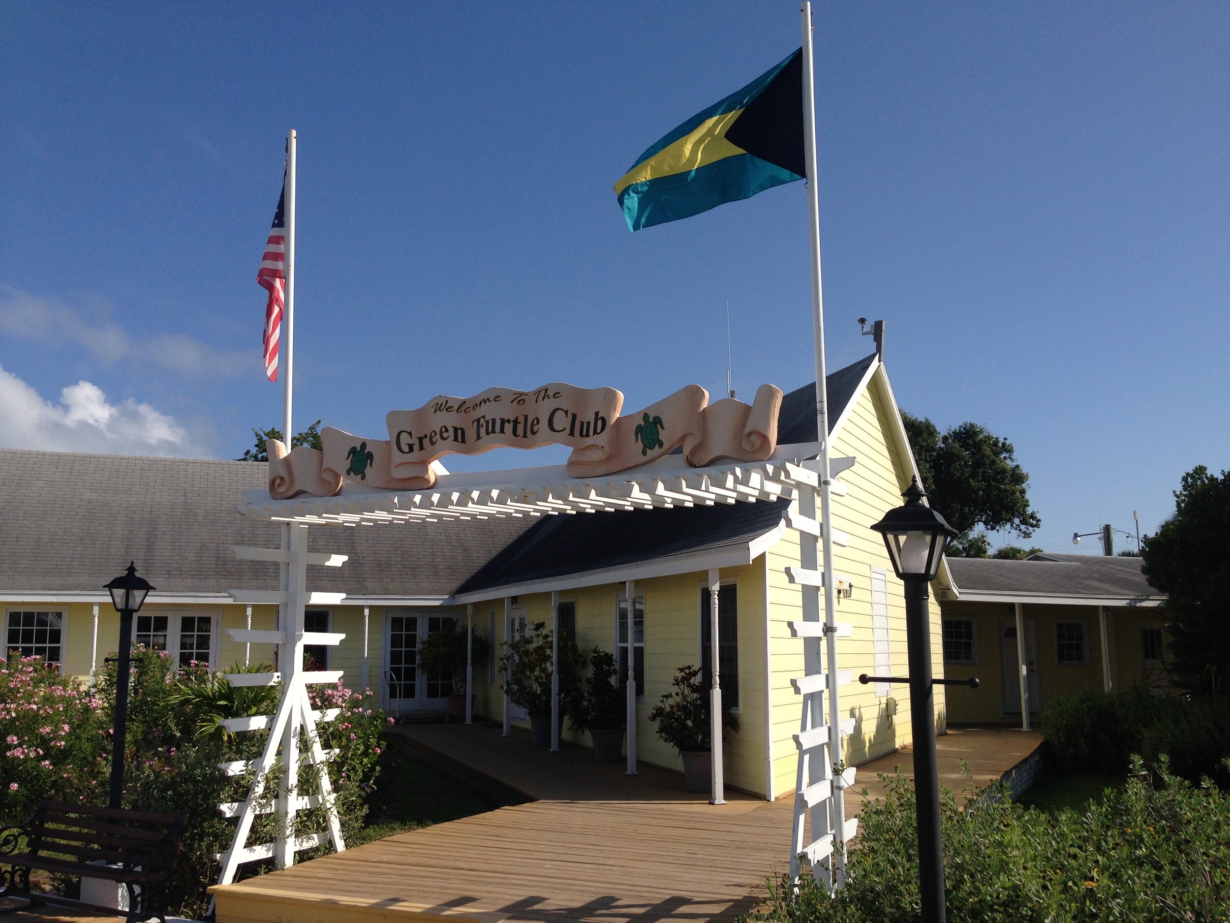
With the F250 cranked, quietly purring, and motoring away from the rocks, I set the route from Triangle Rock to Green Turtle Cay on the Garmin. I motor out and up to 30-knot cruising and set Mr. Garmin. At each leg on the route, Mr. Garmin steered the Tiger IV around and through the Sea of Abaco. 70 or so miles later, we make the call to the property management group and made our way into White Sound. We pass New Plymouth to the right as we enter the sound and move through the small channel. Many transient boats from all around our globe were at anchor. We motor west, and on the right is the famous Green Turtle Cub, and to the left, we move past the Bluff House and toward our dock. Finally, we have made our trip from Goose Creek, SC, to Green Turtle Cay, Abaco, Bahamas.
We slowly move all of our belongings into the Indigo House. Oh, guess what? The phone number had an SC Lowcountry area code. It kind of felt like I was home. Anyway, as we are moving our stuff, I noticed a small rental boat cruising around the front of the dock, pointing at our boat and talking amongst themselves. Then, a voice moved across the water, and it was very familiar. It was my uncle. Wow. How about that. This was a small community dock, and they had rented a house just around the corner from us. It just shows that you better be on your best behavior, ‘cause you never know who’s watching. That was neat. Being in a foreign country with family almost next door makes you feel good.
My wife and daughter joined us a couple of days later. We hopped in the boat the morning of their arrival and took off toward Marsh Harbor and Curly Tails, which is a neat little bar and restaurant. It was a rather long journey, but again, the Tiger IV moved through the clear water with ease and dryness. There was a chop over the Sea of Abaco and a crosswind from the Southwest around 12 knots that slopped the water surface. We passed Don’t Rock to our starboard side and across the crystal clear, light blue water, and 12 miles later, we were entering Marsh Harbor. We had to navigate around the many moored vessels hailing from ports, again, all around the world, and when we pulled up to the dock, we were greeted by two happy ladies. We tied up, loaded their luggage, and made our way back to grab a bite to eat at Curly Tails. Guess what I had: Cracked Conch and a Goombay. As we waited for lunch, the clear water beckoned us to watch a school of small baby barracuda swimming around the dock and shore. Standing on the side of an aquarium, again, is just cool.

After lunch, we made our way back across the Sea of Abaco as the winds began to ease, and the water surface calmed itself to a smooth and mild chop. The sun began to make its exit for the day, which made for a beautiful ride home. The boat-generated breeze was cool to the skin after a hot day, and we entered White Sound as the sunset.

Sea of Abaco Sunset
The next morning, we had a cup of coffee while sitting on the screened porch by the pool planning out the day, which was hopping in the boat, grabbing a dozen ballyhoo, and looking for some fish. We cleared the White Sound and made it out into the Sea of Abaco. We turned to the East and made our way toward No Name Cay and Whale Cay Passage.
Out through Whale Cay Channel and into the Atlantic we go. We pass Chub Shoal to the port side and the patch reefs off Great Guana Cay to the starboard and scan the flat smooth ocean for any signs of life. There were birds working off Guana in 600ft of water. With the birds working and fish busting bait, we moved closer to the action and saw that the fish were blackfin tuna. We set the outriggers and ran the line way, way back. In fact, about 300 ft to 500 ft. These fish have been pressured quite a bit and wouldn’t allow us to get anywhere near them. We work around the diving schools hard and only hooked up with a couple of small tuna.
With the fishing day done, we headed back to Whale Cay passage and turned toward Great Guana Cay. We move in the middle of the old cruise ship channel and set Mr. Garmin. Then I cracked a cold beverage as the ladies took advantage of the bow cushions.
The sun was high and hot, and the water green and clear. One thing about the cruise ship channel, there are reports of a couple of steel piles that have eroded and have broken off just below the water’s surface, so be careful at the East end of the turning basin if you’re cruising off the west end of Guana.
We had a nice easy ride down to the public dock and began to tie up when we ran into a boatload of friends from SC. We all made it to the end of the dock and hopped on a golf cart taxi out to Nippers on the front beach. The ladies were the ones who actually rode the taxi. There wasn’t enough room for all of us, so the boy and I used our feet to get us there. We made our way down and took a left at the Nippers sign, and moved through the palms, brush, and the warm shade. We meet quite a few curly tail lizards running across the sandy road, and those little brown buggers are everywhere and lightning-fast.

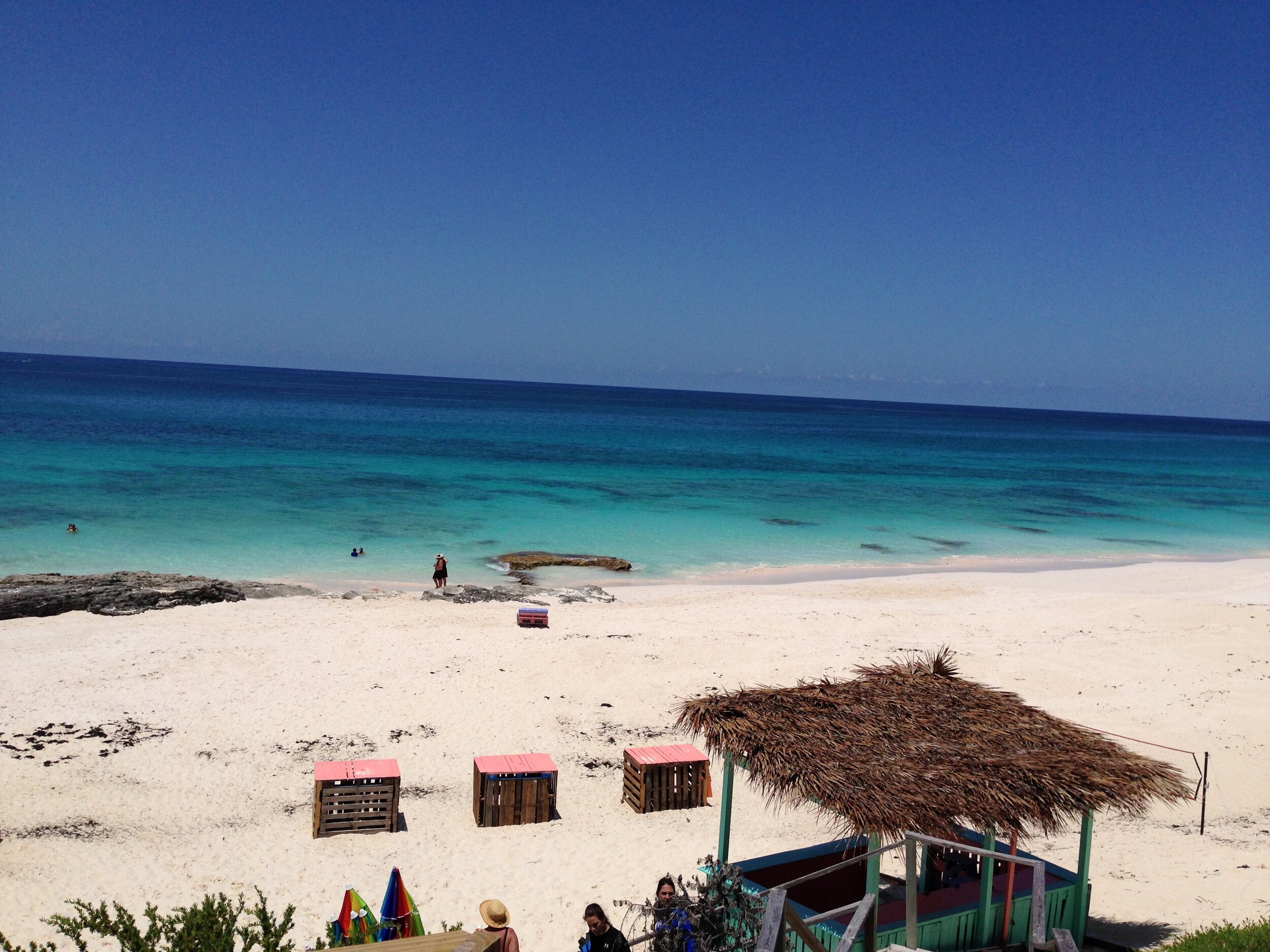
A view of the Barrier Reef From Nipper’s
We were meet with a light breeze that added a little bit of coolness, but nothing worked better than the ice-cold Goombay Smash. Nippers is a unique little establishment with multi-level decks, a pool, restaurant, gift shop, and yes, a bar. The family and our friends, after our cups were filled, headed down the steps from the bar to the beach and grabbed a couple of umbrellas, and created a little SC village at the water’s edge. The kids went snorkeling around the third-largest barrier reef in the world, and the adults did what we do best; run a bar tab. Food and drinks were plentiful, and guess what I had? Yep, Crack Conch.
We had a blast. After a day of fishing and hanging out at Nippers, we finally left Guana. The sun was starting its dip toward the horizon, which gave us a nice, quiet ride back around Whale Cay and back to the Indigo House.
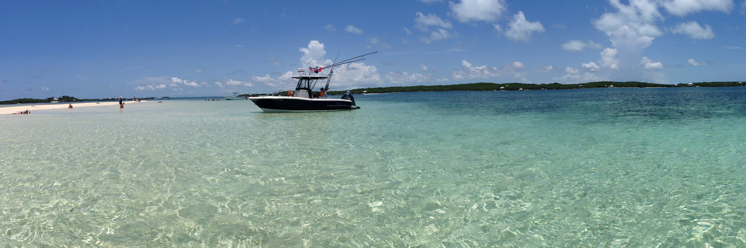
The next few days were pretty much the same. Our daughter spent the night with our friends over in Hope Town, and the next day we all met up at Tahiti Beach. Another beautiful spot to hang out. Again, the kids went snorkeling while the adults kicked back on floats tethered to the boats. After a while, we pulled the anchor on the boat and motored over to Lubbers Quarters and Cracker Peas. Another round and snacks. Oh, by the way, they have a great hot sauce at Cracker Peas, and it’s made right there on Lubbers Quarters. Our next stop, still on Lubbers, was Lubbers’ Landing, where the kids were jumping off the dock tower and then were able to hop on a couple of the paddleboards and have fun. I thought my daughter was going to walk on water when a small shark swam by her. That was funny.

Curly Tail
We grabbed diner and, guess again what I got, I grabbed another cracked conch and peas and rice, and my wife grabbed a batch of buffalo cauliflower. She loved it. That’s not for me.
The day was coming to an end, and we loaded the Tiger IV up and made our way back to Green Turtle Cay: a beautiful hour and a half ride.
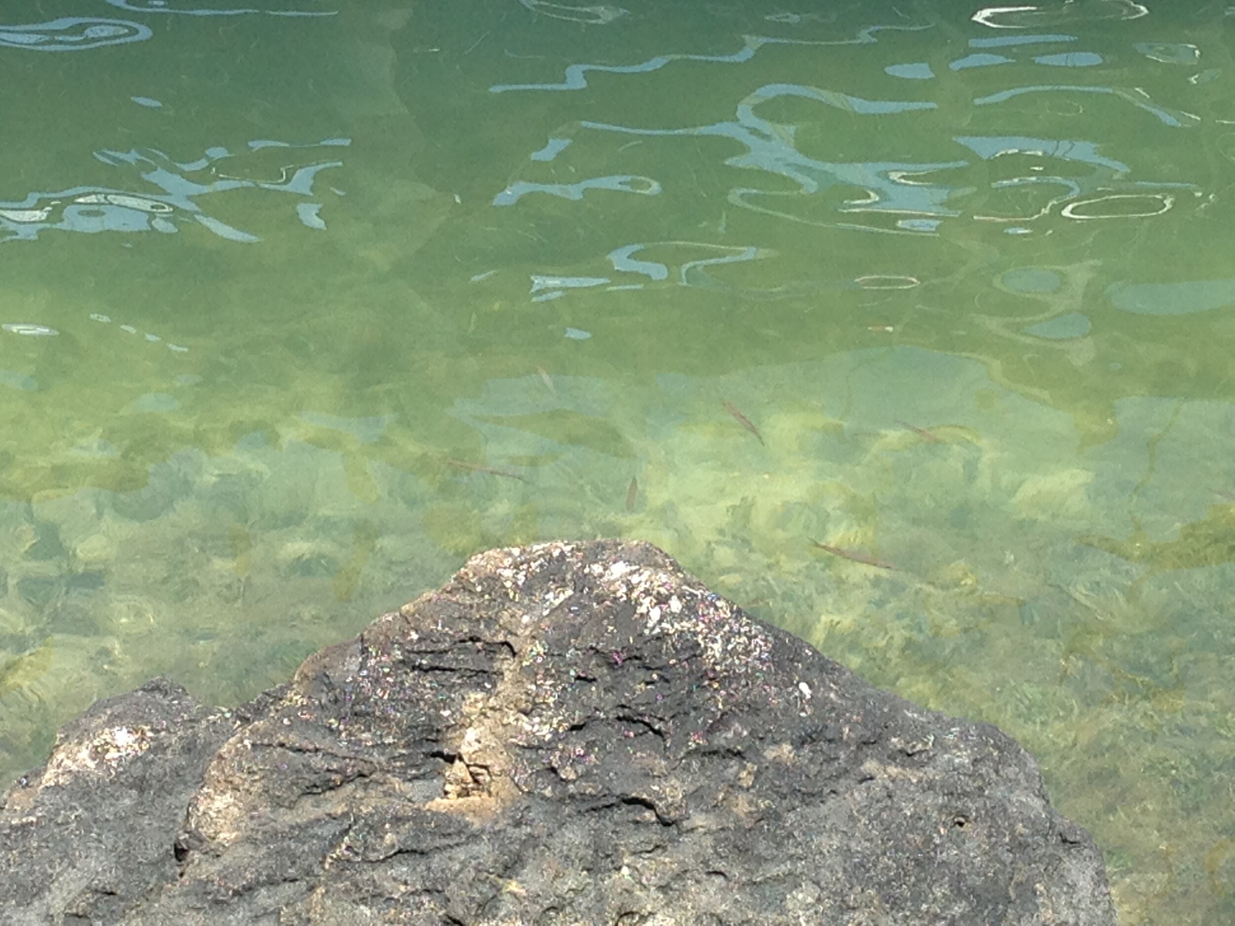
The trip was nearing its end, and we decided to head west the next day and made our way to Powell Cay. We anchored off the seaside of Powell Cay and broke out the snorkeling gear for a look around. I came upon an old tree that was covered with brown grass and many small schooled fish. Around the tree were small blue aquarium-type fish and a host of angelfish. Under the tree was a washed-out area, and resting was an alien invader: the lionfish. Every time I got close with the GoPro, it puffed its spines out in a defensive posture which made me a little uneasy. Then my daughter swam up behind me and grabbed my foot. Well, I thought the queen mother of all lionfish had me, and I’m sure a brown cloud quickly created a barrier similar to that of an octopus and its ink. I guess she got me back for laughing at her and the paddleboard shark experience at Lubbers’ Landing.

Invasive Lionfins
We then moved around the west end and anchored in shallow water. The kids and I walked around the ocean side and found ourselves 6 nice conchs. We cleaned our conchs and then loaded ourselves in the boat and ran away from a small storm that popped up. We made it back to the house and just hung out. We swam in the pool and just relaxed.
The next day was Election Day, and no adult beverages could be sold until the polls closed at 6 pm. We found that out after we made our adventurous golf cart ride into town and to the Wrecking Tree. The Wrecking Tree is a neat little restaurant set under a tree where the wreckers from years gone past would deliver their spoils recovered from shipwrecks. The government would take its share, and the wreckers would take theirs. This is a neat piece of history. Well, the locals were ready for 6, and so were we. The Goombay’s came out, as did the conch. We had a very fresh diner. Across the road is a dock, and we could hear hammering going on, and we were trying to figure out what they were doing. Well, they were cleaning conch. The next thing we know, one of the conch fishermen made his way from the dock to the Wrecking Tree with a 5-gallon bucket of conch, and then the diners began making their way from the kitchen. Truly a fresh diner. This is the best cracked conch I’ve had in the Bahamas.

Wrecking Tree Cracked Conch with Peas & Rice
After diner, we headed over to Miss Emily’s for another round of Goombay’s. These are the original Goombay Smashes. They were invented right here at the Blue Bee Bar. The kids found ice cream and milkshakes down from Sid’s grocery store, and as we were walking around, the newly elected or re-elected officials were getting their pictures taken.
The day was coming to an end as we stood at the public dock between two canons salvaged from the USS San Jacinto in 1865 after it struck a nearby reef. We ended the day with another adventurous golf cart ride back to the house.
Well, the vacation is a day away from ending. We loaded up the ladies the next morning and headed over to Marsh Harbor, had lunch, and loaded them into a taxi for the airport. The boy and I left and made our way over to Nippers on Guana one last time for cracked conch with peas and rice on the top deck looking over the massive, sprawling reef.

Nipper’s
We made our trek back through and around Whale Cay and passed No Name Cay for the last time this year. We slowed as we closed in on White Sound’s entrance and watched New Plymouth fade away. We tied up to the dock and then began loading the boat for our early departure in the morning. I kept an eye on the weather for our crossing, and it looked like it would be decent. The Garmin XM Weather was showing normal winds and a normal sea state for tomorrow.
After our final preps in the house, we loaded ourselves in the golf cart and headed over to the Bluff House. This was our first trip to the Bluff House, and it was very nice. It was open to the sound with a beautiful dining room and bar. My son and I bellied up to the bar and placed our order. Guess what I ate? Ha! Nope, not conch. I actually had a nice steak, but I did have another Goombay. Lord only knows how many I had over that 10-day vacation. Sitting at the bar, they had the Weather Channel on, and that’s when I realized that there was a Hurricane to the North of us. Great. Hurricane Arthur. It was a Category 1 at that time and kind of stationery. Anyway, the boating report looks OK. Also, I was introduced to the Weather Channels spearfishing show and actually enjoyed it.

Hurricane Arthur
We headed back to the Indigo House, and I walked down to the dock to check on the boat and looked at the weather one more time before hitting the sack. No Change. Good.
4 am came quickly, and we loaded the final pieces to our departure puzzle in the Tiger IV. I topped off my coffee cup, rinsed out the coffee pot, locked the doors, and said goodbye to the Indigo. We cast the lines, placed the Yamaha in reverse, and made our way to the Sea of Abaco. Time 4:40 am. At 4:48 am, I slowly moved the throttle forward, and the boat sprang to life and on a plane as we set the cruise at 30knots. I pulled up our return GPS track on the Garmin and set the autopilot. Mr. Garmin took control, and we were off.
The morning was as forecast: light winds. We could see lighting far to the North as it lit the sky. That was Arthur. A little nerve-wracking, I must say—what a beautiful morning ride. Jimmy Buffett was set on the iPhone and singing away through the speakers above my head.

We were making great time, and then we noticed the bank was beginning to become a little bumpy. We were closing in on Great Sail Cay. This was the area where the land ends, and the bank opens up to a large shallow sea. That’s when I knew we were in for an achy and somewhat rough trip. The first hour and a half were nice. Now we have a chop coming from the South West and the North East.
Needless to say, the trim tabs and throttle became an intricate part of the return trip. The boat just kept moving toward Ft. Pierce. I can say she was doing a heck of a lot better than her two crew. I could see the larger sets of waves as we were approaching them and was able to slow us down for an easier ride. The trim tabs were set such that the bow was down, which allows the bow to enter the waves first, helping with a smoother ride. This really helped out, and I would recommend to anyone to add them to their options list. This type of tug of war with the ocean went on for close to 4 hours. Really, really fun. Oh, by the way, the ocean was not what was forecast for those 4 plus hours.
We were closing in on the final 20-30 miles of our trip, and I was noticing that the seas were not as violent, and I did not have to play with the throttle as much. Then just like a switch, the ocean flattened out, and we could see the wind line on the water’s surface. The forecast was correct for Ft. Pierce. Our final hour or so run was unbelievable; 30knots, no wind, and a lake-like surface. Weed lines were everywhere, and I was dying to set out a spread to troll, but I knew we had to clear US Custom, put the boat on the trailer and make our trip back to Goose Creek. So, we motored past those large mats of Sargasso Weed and made it to the Ft. Pierce Jetties. About 7 or so hours later, we made it safely home to the US.

As before, we hit the no-wake zone and a strong tide. I called the US Customs office, received my number, put the boat on the trailer and made our way over to the airport, and cleared customs. A quick stop at Burger King, and we hit I-95 North and set the cruise control for an 8-hour trip home. What a long day. 18 hours earlier, we were in the Bahamas.
Somewhere around 9:45 pm, we both walked into the house in Goose Creek, SC.
What an unbelievable trip and vacation, and we’re looking forward to this summer.